Olivia Krause · 12 October 2026
Ancient Star Maps Guiding Nomadic Pathways Across Expansive Arid Zones
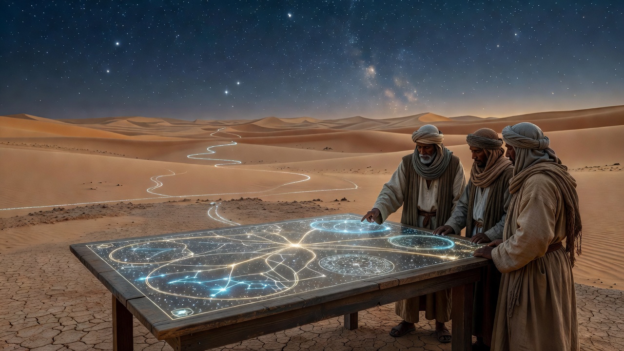
Nomadic groups across vast desert regions have long relied on celestial observations to traverse shifting dunes and rocky expanses where landmarks remain scarce, and researchers have documented these practices through archaeological records and ethnographic studies spanning multiple continents. Evidence from sites in the Sahara and Arabian deserts shows that star positions served as reliable directional indicators during nighttime travel, while oral traditions preserved the knowledge across generations without written charts in many cases.
Archaeoastronomical Evidence from Desert Cultures
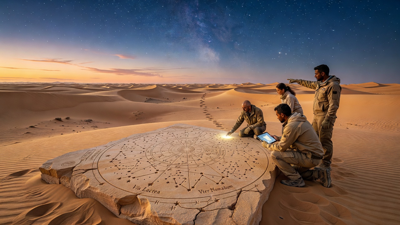
Archaeologists working in North Africa have identified alignments in rock art and stone arrangements that correspond to key constellations, and these findings align with patterns observed in the Arabian Peninsula where Bedouin groups tracked the movements of stars such as those in Orion and the Big Dipper to maintain routes between water sources. Data from field surveys conducted in the early 21st century reveal that such alignments often pointed toward seasonal migration paths, allowing travelers to adjust for the Earth's rotation and avoid disorientation in featureless terrain.
Researchers at institutions in Australia have examined similar techniques among Aboriginal communities navigating the arid interior, where the Milky Way and specific star clusters provided orientation cues during long treks between waterholes, and comparative studies highlight parallels with North American desert-dwelling groups who used circumpolar stars for consistent bearings. Figures from these investigations indicate that navigation accuracy reached levels sufficient for journeys exceeding hundreds of kilometers when combined with wind patterns and subtle ground variations.
Navigation Techniques and Celestial Markers
Observers note that nomadic travelers identified rising and setting points of prominent stars to establish cardinal directions, and they adjusted for seasonal shifts by memorizing cycles tied to lunar phases or solstices. In the expansive arid zones of the Middle East, for instance, the star Sirius served as a marker for southward routes during certain months, while Polaris anchored northern bearings in higher latitudes, and this knowledge integrated with practical observations of animal behavior and vegetation changes.
Studies from European research centers have reconstructed these methods through simulations and historical accounts, showing that groups could maintain straight-line travel across dunes by sighting multiple stars in sequence rather than relying on a single point. The approach reduced errors caused by sandstorms or mirages, and evidence suggests that training began early in life with elders passing down the sequences through storytelling and nighttime demonstrations.
Regional Variations and Knowledge Transmission
Across the Sahel region bordering the Sahara, communities incorporated both northern and southern hemisphere stars into their frameworks, adapting to the transition zones where different celestial references became visible, and records from Canadian academic projects have compared these systems with those used by Indigenous groups in similar environments on other continents. What's interesting is how the absence of written maps in some societies did not diminish precision, since verbal descriptions and repeated practice embedded the information effectively.
Turns out that trade routes documented in ancient texts from Asia Minor often intersected with star-guided paths, and archaeological digs have uncovered artifacts like calibrated sticks or stones that may have aided in measuring star angles during stops. In October 2026, new data releases from international collaborative databases continued to map these connections, linking specific star observations to dated migration events preserved in sediment layers and oral histories.
Integration with Environmental Cues
People who studied these pathways emphasize the combination of astronomy with other indicators such as dune shapes formed by prevailing winds and the positions of oases relative to stellar azimuths, and this multi-layered approach allowed for corrections when clouds obscured views for short periods. Research indicates that error margins stayed low enough to support reliable commerce and seasonal movements, with groups returning to the same campsites year after year based on the same celestial references.
Academic papers from Australian universities have modeled how precession of the equinoxes would have altered visible stars over centuries, yet nomadic traditions incorporated adjustments that kept the systems functional, and similar adaptive strategies appear in records from arid zones in South America where different constellations took precedence. The ball's in the court of modern analysts to interpret these layers without imposing contemporary assumptions about measurement tools.
Conclusion
Evidence accumulated from diverse arid regions demonstrates that ancient star-based navigation formed a sophisticated system capable of sustaining long-distance movement and cultural exchange, and ongoing analyses continue to uncover details about how these methods evolved alongside environmental changes. Data from multiple geographic sources confirm the effectiveness of such techniques, while connections between celestial knowledge and practical survival strategies remain central to understanding human adaptation in challenging landscapes.