Gisela Koch · 28 September 2026
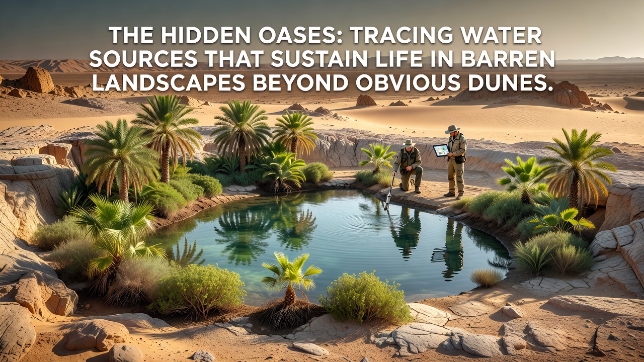
The hidden oases: tracing water sources that sustain life in barren landscapes beyond obvious dunes
Deserts cover roughly one third of Earth's land surface, yet water persists in forms that remain invisible at first glance, sustaining ecosystems far from visible dunes or riverbeds. Researchers map these sources through geological surveys, satellite data, and biological indicators rather than surface observation alone, revealing networks that support vegetation, wildlife, and human settlements in extreme aridity.
Groundwater systems beneath the surface
Aquifers form the primary hidden reservoirs in many desert regions, where porous rock layers trap rainfall from past millennia and channel it slowly through fractures. In the Sahara, fossil aquifers extend across multiple countries, supplying oases that appear isolated but connect through underground flows traced by isotopic analysis. Data from geological mapping shows these systems recharge infrequently, often relying on rare storm events that infiltrate deep enough to bypass evaporation losses.
Similar structures appear in the Australian outback, where the Great Artesian Basin spans more than 1.7 million square kilometers and delivers water to springs through confined sandstone layers. Hydrologists use pressure measurements and tracer studies to follow movement patterns, confirming that extraction rates must stay below natural discharge to prevent long-term depletion. What's interesting is how seismic surveys combined with drilling logs allow precise location of these flows without disturbing the surface ecology.
Fog, dew, and atmospheric moisture collection
Coastal deserts such as the Namib and Atacama rely on fog banks that roll inland from cold ocean currents, depositing moisture on rocks and vegetation. Organisms like the Namib beetle collect droplets through specialized body structures, while human projects install mesh nets that capture hundreds of liters per square meter during peak fog seasons. Studies conducted by Chilean research teams document how these nets supplement municipal supplies in villages where rainfall averages under 1 millimeter annually.
Dew formation adds another layer during clear nights when temperature drops allow condensation on soil and plants. Instruments placed across the Negev Desert in Israel measure daily dew yields that contribute up to 20 percent of annual plant water needs in some microhabitats. Observers note that these atmospheric sources become critical during extended drought periods when deeper aquifers remain inaccessible to shallow-rooted species.
Biological and geological indicators
Vegetation patterns often reveal subsurface water before any drilling occurs. Deep-rooted acacias and tamarisks cluster along fault lines where fractures bring moisture closer to the surface, creating linear green corridors visible from aerial surveys. In the Mojave Desert, researchers correlate plant distribution maps with electromagnetic conductivity readings to predict aquifer boundaries with increasing accuracy.
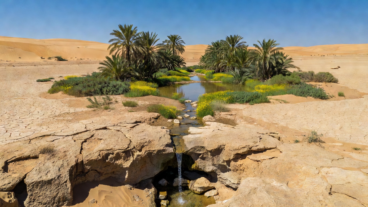
Animal behavior provides further clues. Herds of oryx and gazelles return repeatedly to locations where water seeps through gravel beds, guiding field teams to springs that surface only after excavation. Geological features such as gypsum deposits and salt crusts mark ancient lake beds that still hold brackish water beneath thin sediment layers, offering another mapping tool for resource surveys.
Modern tracing techniques and data integration
Satellite imagery from programs operated by agencies including NASA and the European Space Agency detects subtle vegetation changes and thermal anomalies that point to groundwater upwelling. These datasets integrate with ground-based sensors that monitor water table fluctuations in real time, allowing models to forecast availability under changing climate conditions. A forthcoming international arid lands assessment planned for release in September 2026 will incorporate updated remote sensing layers to refine these predictions across multiple continents.
Ground-penetrating radar and electrical resistivity tomography add detail at the local scale, distinguishing between dry sand and water-bearing strata without extensive excavation. Teams in the Arabian Peninsula have applied these methods to locate new well sites that support both nomadic communities and agricultural projects while minimizing impact on existing natural springs. Figures from regional water authorities show that targeted drilling based on such surveys increases success rates from roughly 30 percent in random attempts to over 70 percent in mapped zones.
Case examples across continents
The Kufra oasis in Libya draws from the Nubian Sandstone Aquifer, where ancient water supports date palm groves that have persisted for centuries despite surrounding hyper-arid conditions. Monitoring wells installed by Libyan and international hydrologists track salinity changes that signal over-extraction risks. In contrast, communities in the Kalahari region of Botswana rely on seasonal pans that collect surface runoff and recharge shallow aquifers through sandy soils, a system documented through long-term rainfall and water level records maintained by the Botswana Department of Water Affairs.
Across North America, the Sonoran Desert contains tinajas, natural rock basins that trap runoff and sustain wildlife corridors. Park service inventories in Arizona and California catalog these features alongside spring locations to guide conservation planning. Each region demonstrates how local geology dictates the form and reliability of hidden water sources, yet common principles of recharge, storage, and discharge apply universally.
Conclusion
Hidden water sources sustain life across deserts through interconnected systems that combine deep aquifers, atmospheric moisture, and biological adaptations. Tracing methods ranging from satellite observation to geophysical surveys continue to improve location accuracy and management practices. As data collection expands, particularly with the 2026 assessment update, understanding of these resources supports both ecological preservation and sustainable use in arid environments worldwide.